
DJI Enterprise drone solutions for inspection, mapping, and emergency response.
SK Vector helps industrial teams choose the right aircraft, payload, accessories, and workflow for real field missions, from power utilities and oil & gas to mining, public safety, and infrastructure projects.
Choose drones by mission, not by product name.
Most buyers do not start with a model number. They start with a job: inspect a risky asset, map a large site, monitor a mine, or respond faster during an emergency.
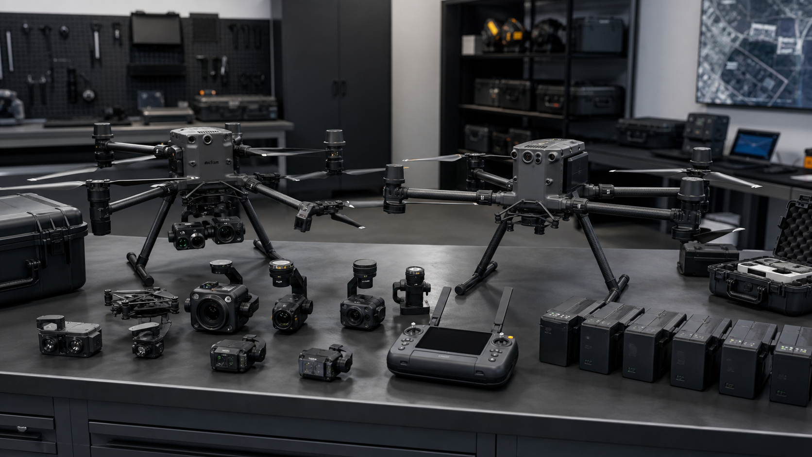
- Match aircraft, camera, RTK, battery, and software to the project environment.
- Explain when to choose a flagship platform, a compact enterprise drone, or a dock-based system.
- Prepare practical configuration directions for procurement teams and field operators.
Drone solutions for field operations where speed, safety, and data quality matter.
These application directions help buyers quickly understand whether SK Vector is relevant for their project.
Transmission line and substation inspection
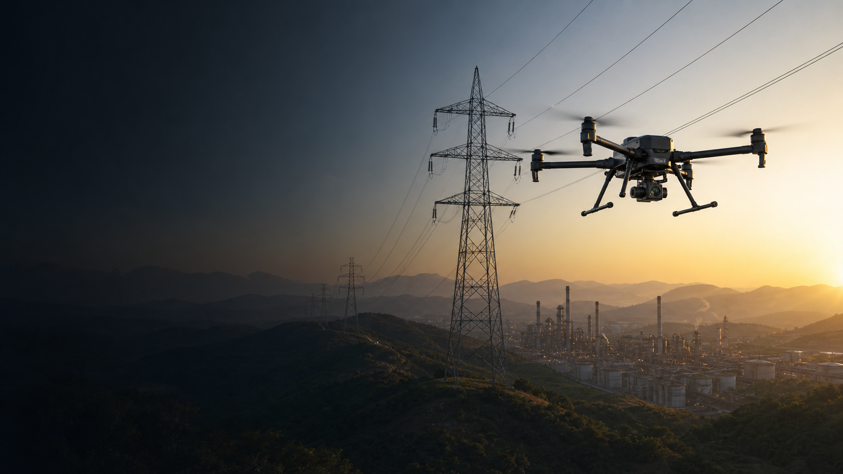
Inspect towers, conductors, substations, right-of-way corridors, and thermal risk points while reducing manual climbing and long ground patrols.
Best direction: Matrice 400 or Matrice 350 RTK with zoom, thermal, and RTK configuration.
Remote inspection for high-risk energy sites
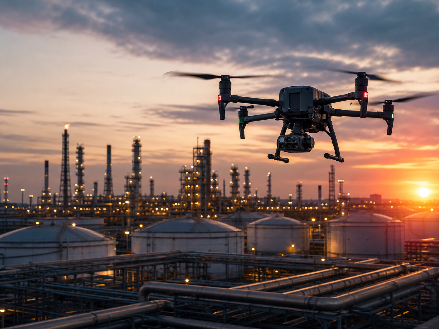
Support tank, pipeline, refinery, well site, and restricted-zone observation while keeping workers farther from hazardous areas.
Best direction: thermal zoom payloads, spotlight, speaker, and long-range flight planning.
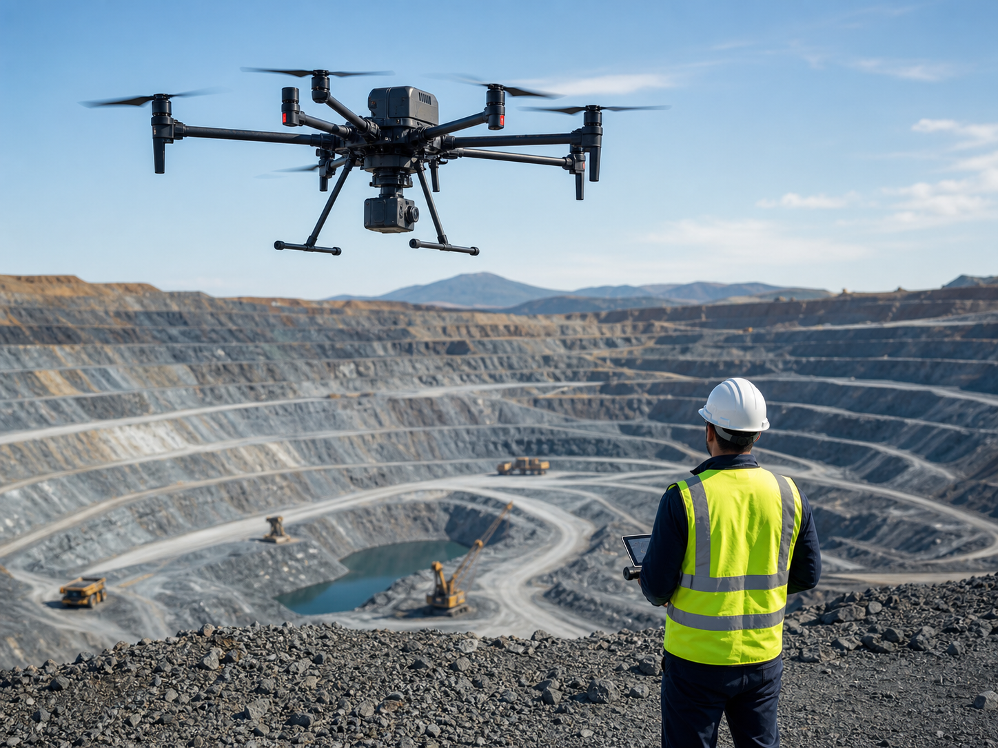
Mine survey and slope monitoring
Capture terrain data, measure stockpiles, monitor slopes, document open-pit operations, and support safer site planning.
Best direction: mapping payloads such as LiDAR or photogrammetry with RTK and survey software.
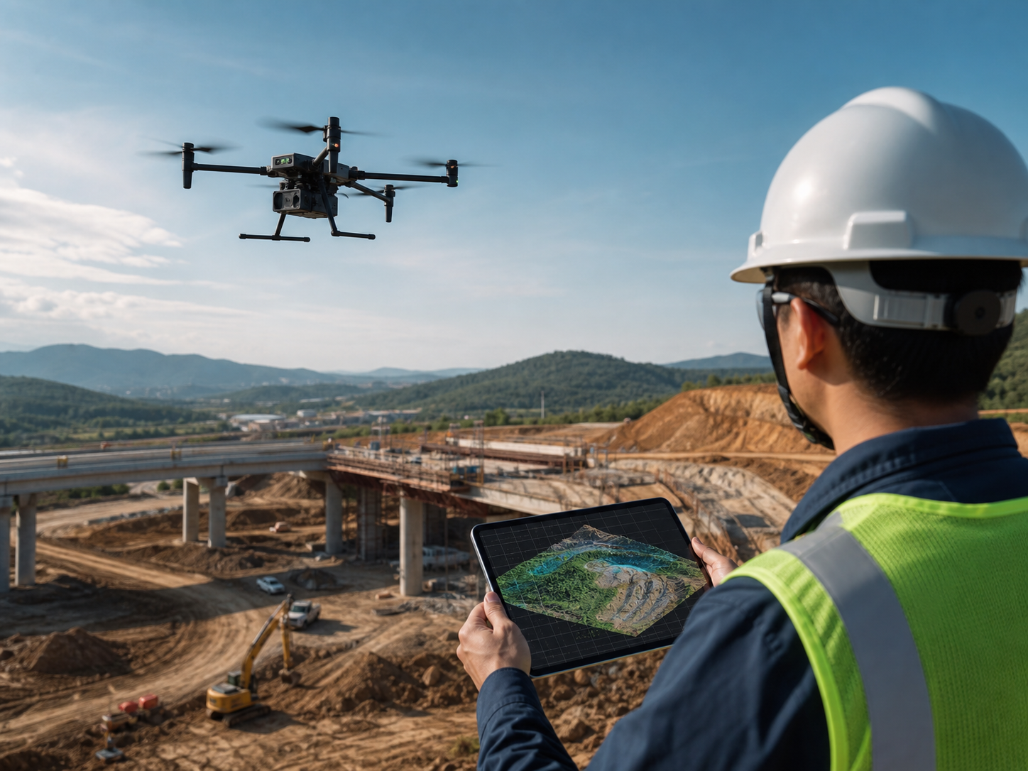
Surveying, mapping, and engineering records
Build repeatable workflows for orthomosaics, 3D models, LiDAR point clouds, construction progress, and infrastructure documentation.
Best direction: Matrice 400, Matrice 350 RTK, or Mavic 3 Enterprise Series depending on site size.
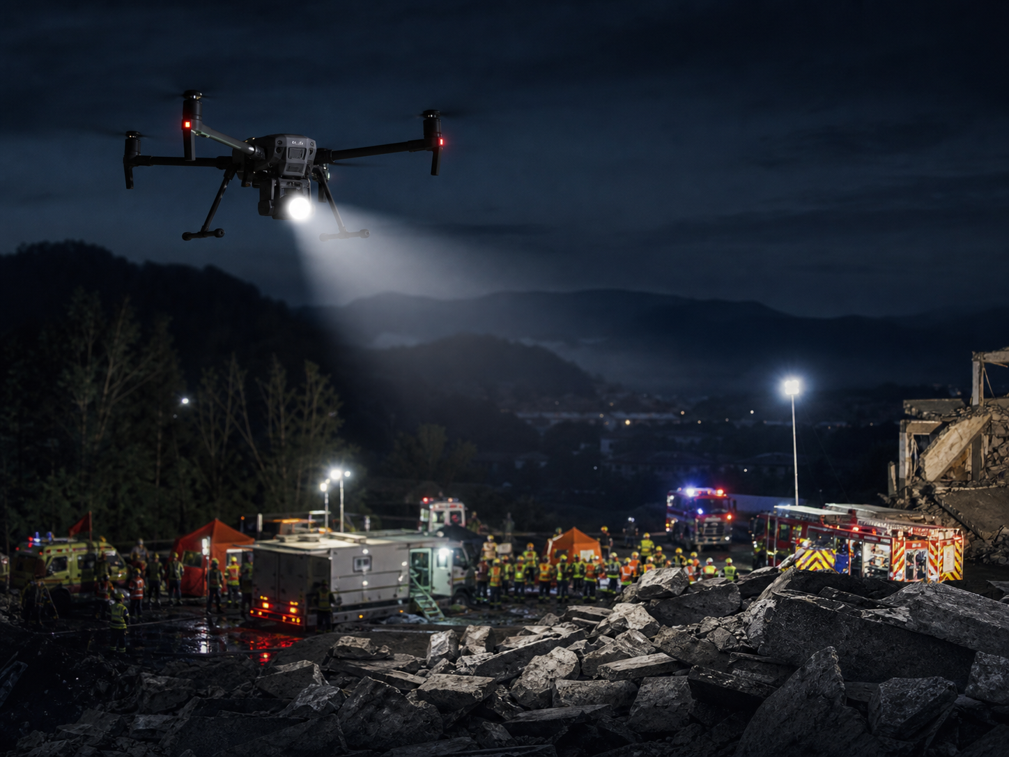
Emergency response and search operations
Provide fast aerial overwatch, thermal search, night lighting, public announcement, and disaster assessment support.
Best direction: Matrice 30T, Matrice 4T, or Matrice 400 for larger response areas.
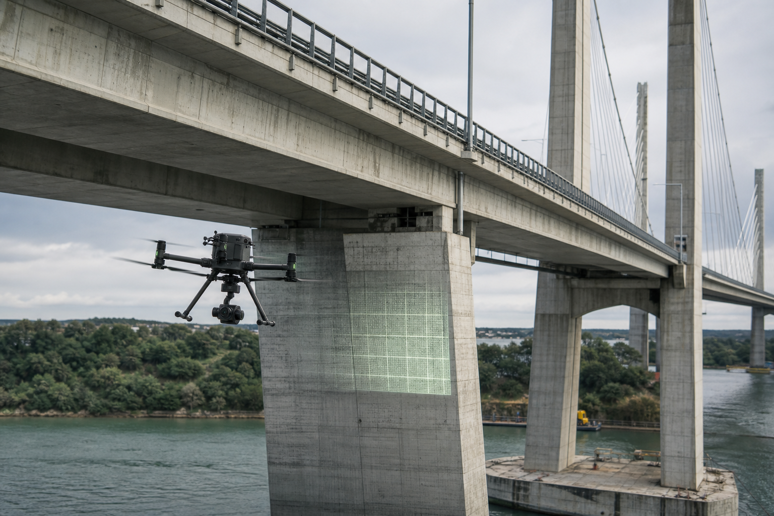
Bridge, port, tower, and asset inspection
Inspect large structures where manual access is slow, expensive, dangerous, or disruptive to normal operations.
Best direction: zoom camera, thermal camera, RTK, and route-based inspection workflows.
Enterprise drone platforms for different mission sizes.
The right product depends on payload need, flight distance, environment, deployment speed, and whether the mission is manual or automated.
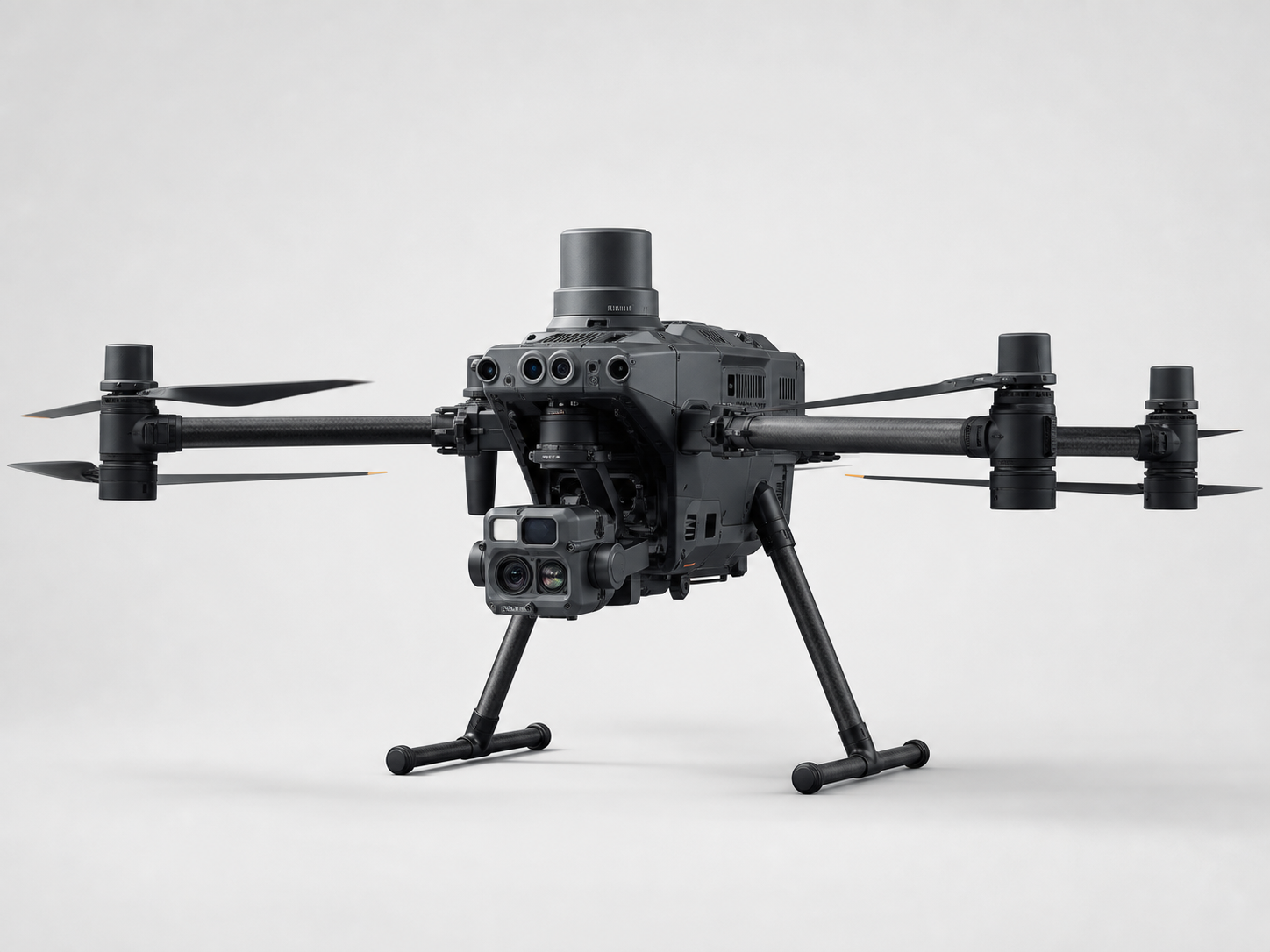
DJI Matrice 400
Flagship industrial platform for long-range inspection, heavy-payload operations, mapping, emergency response, and large infrastructure missions.
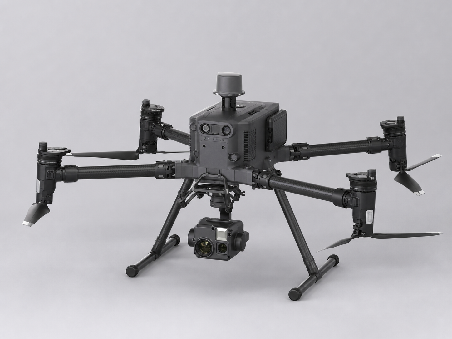
DJI Matrice 350 RTK
Mature multi-payload platform for industrial inspection, mapping, public safety, and professional field teams that want a proven ecosystem.
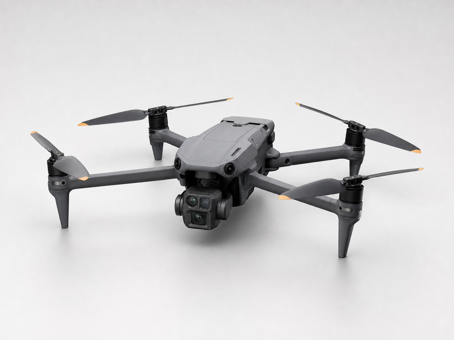
DJI Matrice 4 Series
Compact enterprise drones for fast inspection, mapping, thermal observation, and daily field deployment with lower carry weight.
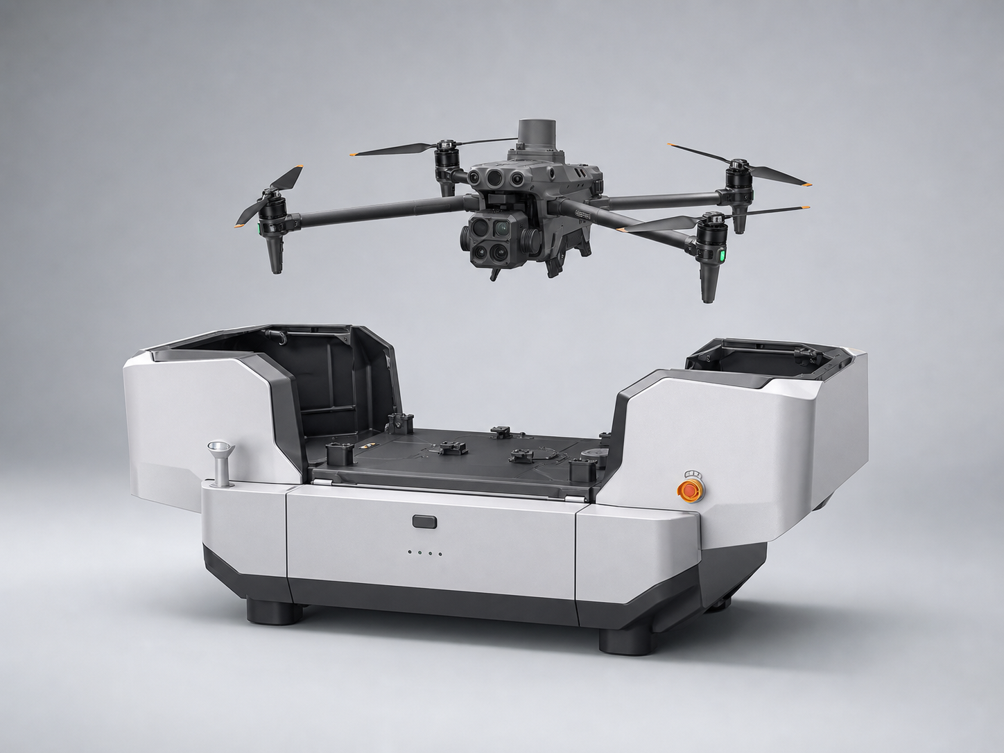
DJI Matrice 4D
Designed for dock-based automated inspection, scheduled patrol, remote operation, and fixed-site monitoring workflows.
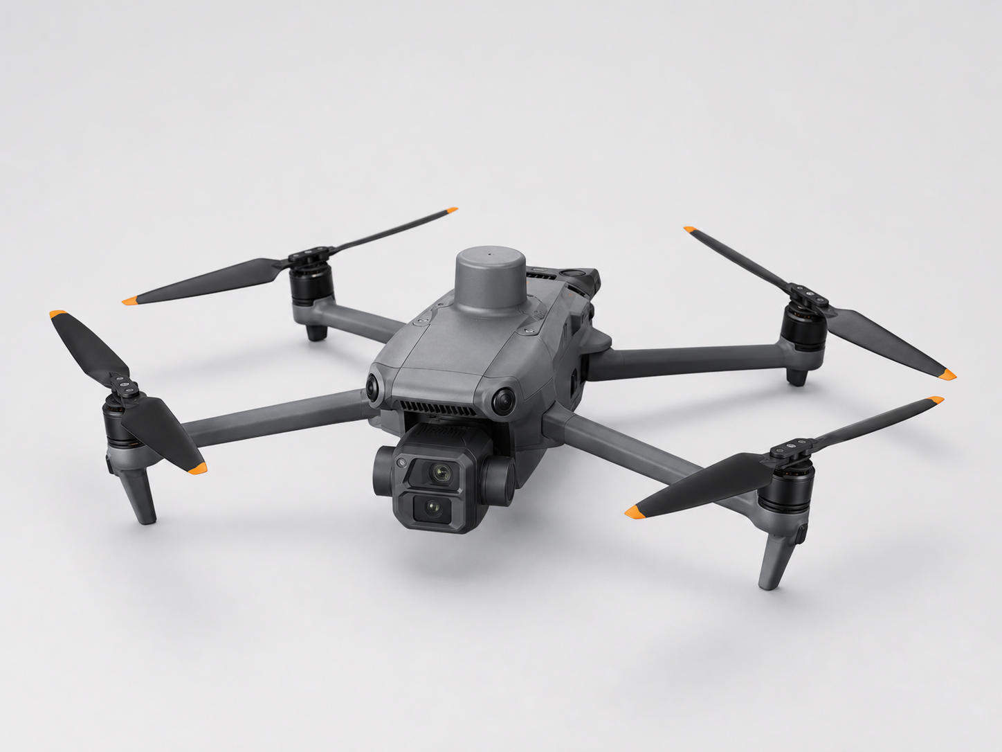
Mavic 3 Enterprise Series
Portable mapping, inspection, thermal, and multispectral options for smaller teams and fast site documentation.
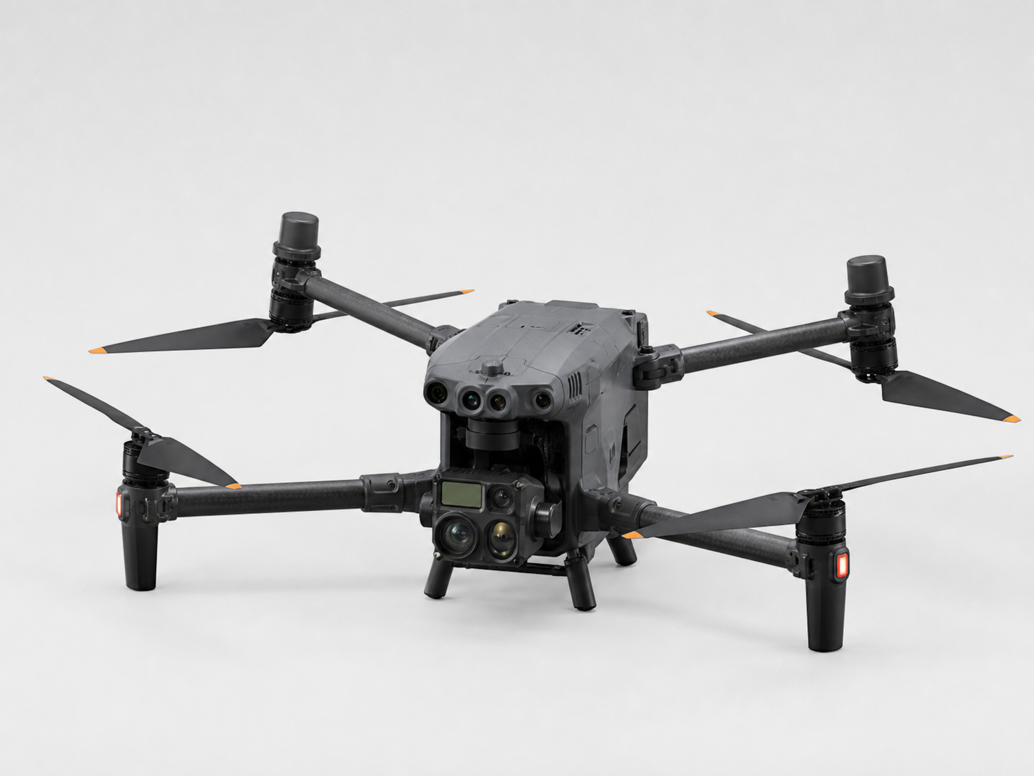
Matrice 30 Series
Portable weather-resistant enterprise drones for public safety, inspection, emergency response, and thermal operations.
Help buyers decide which direction to ask about.
This comparison is written for procurement teams and project managers who need a practical starting point.
| Customer Need | Recommended Direction | Why |
|---|---|---|
| Long-distance power line inspection with thermal and zoom observation | DJI Matrice 400 / Matrice 350 RTK | Stronger endurance, RTK workflows, and professional payload compatibility. |
| Fixed-site scheduled patrol with remote operation | DJI Matrice 4D + Dock | Better for repeatable automated inspection and unattended monitoring. |
| Fast emergency response with thermal search and night operations | DJI Matrice 30T / Matrice 4T | Portable, fast to deploy, and suitable for public safety teams. |
| Mining, terrain survey, stockpile measurement, and engineering mapping | Matrice 400 / Matrice 350 RTK / Mavic 3E | Selection depends on area size, accuracy target, payload requirement, and budget. |
| General inspection and site documentation for smaller teams | Mavic 3 Enterprise Series | Compact, cost-efficient, and simple for daily field work. |
A practical drone partner for industrial buyers.
Application-oriented selection
We help buyers connect aircraft models, payloads, accessories, and software to real mission requirements.
Enterprise drone supply
We focus on DJI Enterprise and industrial drone solutions for inspection, mapping, public safety, and infrastructure use.
Configuration support
We can discuss camera choice, RTK needs, battery planning, payload direction, and software workflow before purchase.
Export communication
We support international inquiries with clear product direction, quotation preparation, and project communication.
Common questions from industrial drone buyers.
Which DJI drone is best for power line inspection?
For long corridors, substations, and professional inspection payloads, DJI Matrice 400 and Matrice 350 RTK are strong directions. For faster and lighter inspection, Matrice 4 Series may be more practical.
What type of drone should be used for mining survey?
Mining survey usually needs RTK positioning, mapping payloads, and reliable field workflows. Larger sites may fit Matrice 400 or Matrice 350 RTK, while smaller mapping tasks may fit Mavic 3 Enterprise Series.
When should a buyer choose dock-based drone inspection?
Dock-based inspection is useful for fixed sites that need repeatable patrol routes, scheduled monitoring, remote operation, and less on-site manual deployment.
Can SK Vector help choose payloads and accessories?
Yes. SK Vector can help buyers discuss zoom, thermal, LiDAR, photogrammetry, RTK, spotlight, speaker, battery, and software directions based on the application scenario.
Tell us the mission. We will help you choose the right drone solution.
Share your industry, site type, inspection distance, payload needs, country, and expected project timeline. SK Vector will help prepare a practical product and configuration direction.